
- Joined
- 11 Jan 2004
- Messages
- 42,733
- Reaction score
- 2,633
- Country

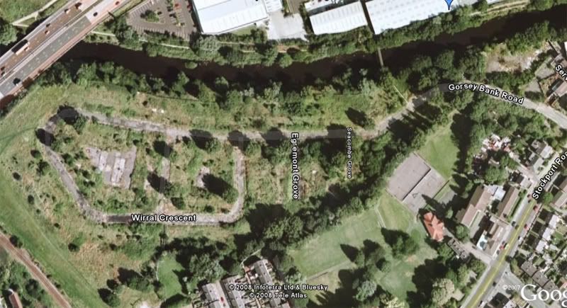
I'm doing a bit of research into a demolished council estate in Stockport.
I was wondering if anyone knew when it was built?
It's the Gorsey Bank estate. So far, after much probing, the interwebby has revealed that someone was born there in 1952 and (apparently) a bomb landed on it on the 22nd or 23rd December 1940.
Can anybody else help me out please?
Thanks, guys.
I was wondering if anyone knew when it was built?
It's the Gorsey Bank estate. So far, after much probing, the interwebby has revealed that someone was born there in 1952 and (apparently) a bomb landed on it on the 22nd or 23rd December 1940.
Can anybody else help me out please?
Thanks, guys.

")


