
You are using an out of date browser. It may not display this or other websites correctly.
You should upgrade or use an alternative browser.
You should upgrade or use an alternative browser.
Driving to France
- Thread starter JP_
- Start date
Without a car, it would take half the holiday to get to Dover.
Not by train.
- Joined
- 7 Jan 2010
- Messages
- 14,447
- Reaction score
- 4,533
- Country

As long as the trains will fit in the tunnels. I've been to Europe a few times by train, much more civilized than flying or driving.IME European train services are a billion times better than British ones.
I drive to the alps to ski. It's about 8 hours from Calais, easily doable in 1 day, so obviously doable having city hopped to get there. There and back will cost about £200 in tolls unless you avoid the autoroute. (There are actually long stretches of the 'toll' roads you could use for free, but needs planning. I don't!)Is getting close to the Alps doable in 4-5 days, without spending too much time in the car?
You could plan to do the trip to the alps first 2 days, then meander back up to Calais to return. The incentive then is to go all the way down in on day, mooch around the mountains and relax the driving coming back.
- Joined
- 17 May 2012
- Messages
- 11,444
- Reaction score
- 1,039
- Country
Probably won't bother with alps idea. Just thought it would be nice for the kids to see some mountains.
And I didn't realise tolls are so expensive.
Any tips on satnav? I only use my phone at the moment, wondering if I should buy a satnav for the car?
And I didn't realise tolls are so expensive.
Any tips on satnav? I only use my phone at the moment, wondering if I should buy a satnav for the car?
- Joined
- 17 May 2012
- Messages
- 11,444
- Reaction score
- 1,039
- Country
Yeah, I like my Google Maps. I know you can download regions, and GPS is apparently no data, so might test this and see how it goes.
And get the kids and wife to also download half of France.
No idea about using phones in France either - between us we have EE, Vodafone and Giffgaff.
And get the kids and wife to also download half of France.
No idea about using phones in France either - between us we have EE, Vodafone and Giffgaff.
If you don’t have any data in your plan, you can download Google maps to your phone and then you don’t need any data. I think it’s a bit quicker too.I use my phone with Google maps and generally have it set to avoid toll roads and it’s been fine, all my data is included in my contract so it costs me no extra.
If you are into war stuff, this place might be interesting for you.
Probably won't bother with alps idea. Just thought it would be nice for the kids to see some mountains.
And I didn't realise tolls are so expensive.
Any tips on satnav? I only use my phone at the moment, wondering if I should buy a satnav for the car?
Android phone here and, provided you have a tariff that works abroad (for a price you are willing to pay: in my case, free abroad), Google Maps is absolutely spot on.
Check before anyone (kids especially!) connect to the ferry WiFi.
Tempting for the little buggers, as they're out of range for normal service.
Think it cost about a tenner an hour, for a chunk of the five hour crossing........
Tempting for the little buggers, as they're out of range for normal service.
Think it cost about a tenner an hour, for a chunk of the five hour crossing........
Also, might be worth loading up a separate (from your phone, which you'll be using for Maps) device with music, as we found French radio to be patchy in reception, pretty dire in terms of musical quality, and obviously in French! So talk radio was no good for us..........
Also, for what they cost vs what it'll cost you to be caught without, get one of these:
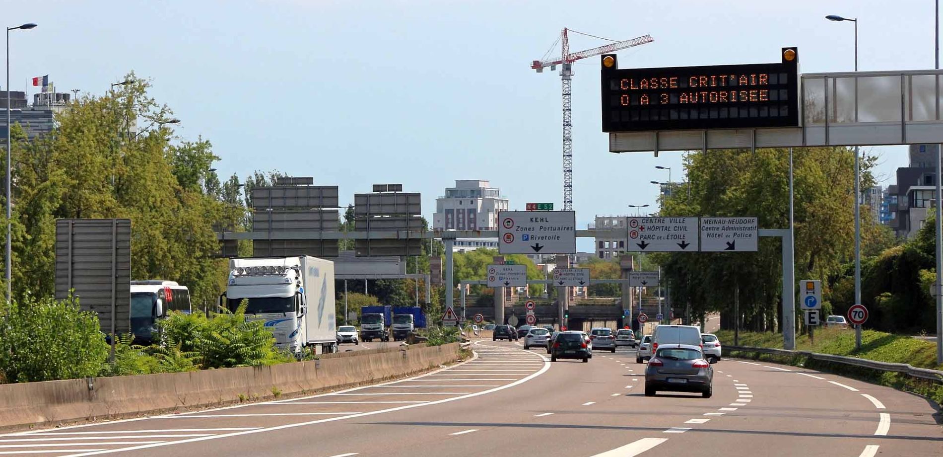
 www.renaultgroup.com
All you need to know about Crit'Air certificate - Renault Group
The Crit'Air certificate is mandatory to drive in some cities in France. Find out here if your vehicle is concerned.
www.renaultgroup.com
There and back will cost about £200 in tolls unless you avoid the autoroute. (There are actually long stretches of the 'toll' roads you could use for free, but needs planning. I don't!)
That's a lot of money. Didn't realise it's so much. Like a whole year's road tax in UK, for just a couple of long trips in France. Does anyone know if you can program a Tomtom satnav to avoid tolls?
Similar threads
- Replies
- 1
- Views
- 2K